Projects and News

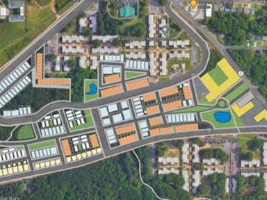
Mapping Shaded Routes
The Cool Routes app allows users from 10 U.S. cities to map three routes to the user’s destination, allowing them to compare how much cooler one route is from another.

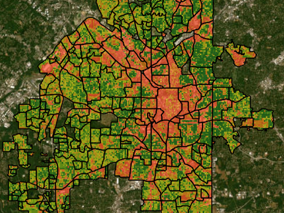
Atlanta Climate Vulnerability Map
Atlanta neighborhoods are visualized on an interactive map using heat risk, flood risk, and overall climate vulnerability.
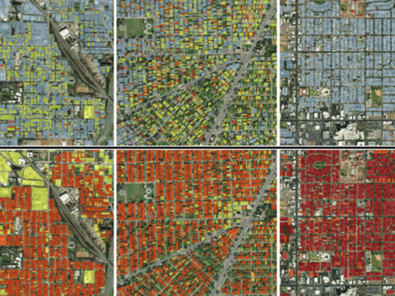
Compounding Risks of Climate Events
The Urban Climate Lab is estimating the population health risk of a combined heat wave and blackout event for Atlanta, Detroit, and Phoenix.

"Climate change is intensifying issues like extreme heat, floods, and infrastructure failures, making it crucial for cities to enhance their resilience and adaptive responses."
— Subhro Guhathakurta, Executive Director of the Center for Urban Resilience and Analytics
Affiliated Research Centers
Affiliated Schools